



The feature touted prompt-based overlays on maps; critics showed fabricated conflict scenes, prompting withdrawal within a day of launch
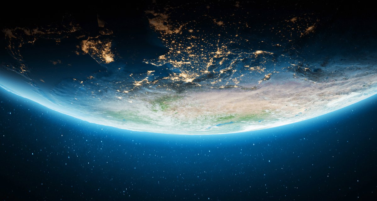
Only a day after introducing it, Google has removed an AI image feature from Google Earth after the tool drew immediate criticism for making it too easy to create deceptive satellite-style images, according to its formal statement on X.
The feature allowed users to enter prompts and place AI-generated visuals on top of real map imagery — supposedly useful for a range of legitimate tasks, including creative visualization, historical reconstructions, and planning for real estate or site development.
However, certain users quickly showed that the same capability could also be used to invent highly believable images of sensitive or newsworthy locations, raising fears that it could be used to manufacture convincing false scenes of places and events.
Among the first to test the tool was open-source researcher Henk van Ess, founder of the investigative outlet Digital Digging. He claimed he was able to generate fabricated satellite images depicting refugees at the Mexican border, a nuclear facility in Iran, and a hospital in Gaza — marked by what looked like a bomb crater. Van Ess told NPR that the system did not refuse any of his prompts, soften the output, or suggest alternative wording. NPR had also produced examples of its own, including an AI-generated image showing Kharg Island in Iran on fire, and another depicting the US Capitol complex flooded.
Was it even properly red-teamed?
Evan Hill, a visual forensics investigator at The Washington Post, had also criticized the idea on X, asking how, or whether, the concept had been red-teamed internally given how many opportunities for abuse and disinformation it created.
Subsequently, on 31 July 2026, Google acknowledged the problem and declared it was pulling the feature from Google Earth while it worked on stronger safeguards. The firm said people trust Google Earth for an accurate view of the world, and it had seen users share screenshots of generated imagery that appeared to break its policies. The images carried its corporate watermark and did not appear in the main Google Earth experience for other users, but critics said those protections were not enough.
Van Ess tested his fake image with the third-party detection tool Hive, which had rated it 99.2% likely to be real.
Satellite imagery has long been treated as a reliable verification tool for journalists, researchers, and human rights investigators who need to document events in conflict zones and other hard-to-access places. Such imagery has traditionally been a safe bet for verifying events because it has been hard to fake. Now, Van Ess has noted that Google spent two decades building the reference point the world checks against, then added a button that makes things up.